MEADOW LINES

Waterman Farm, Columbus, OH, 2018-Present.

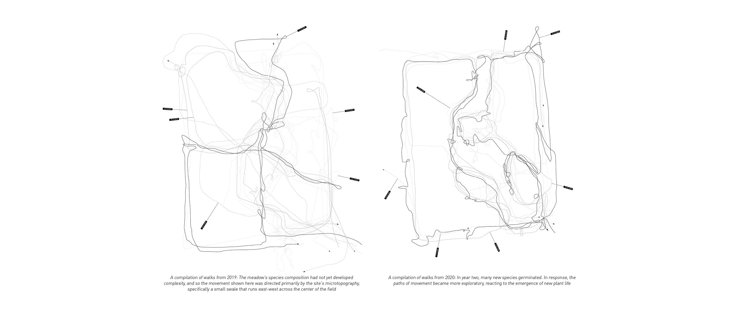
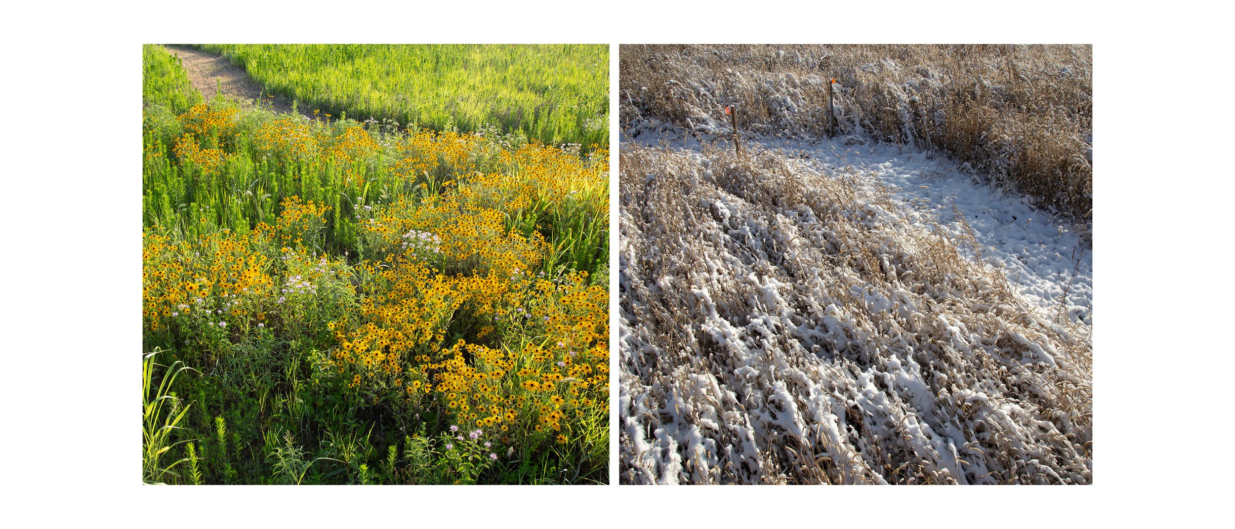
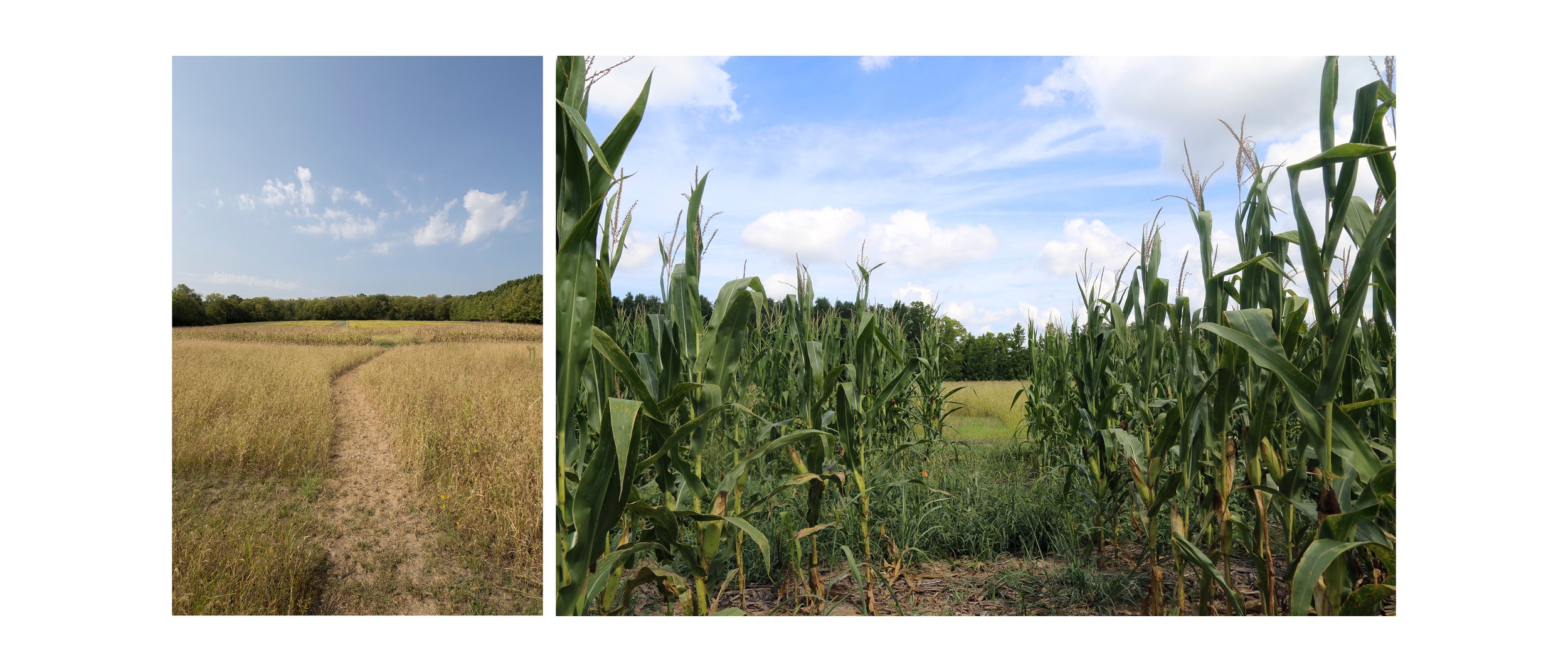
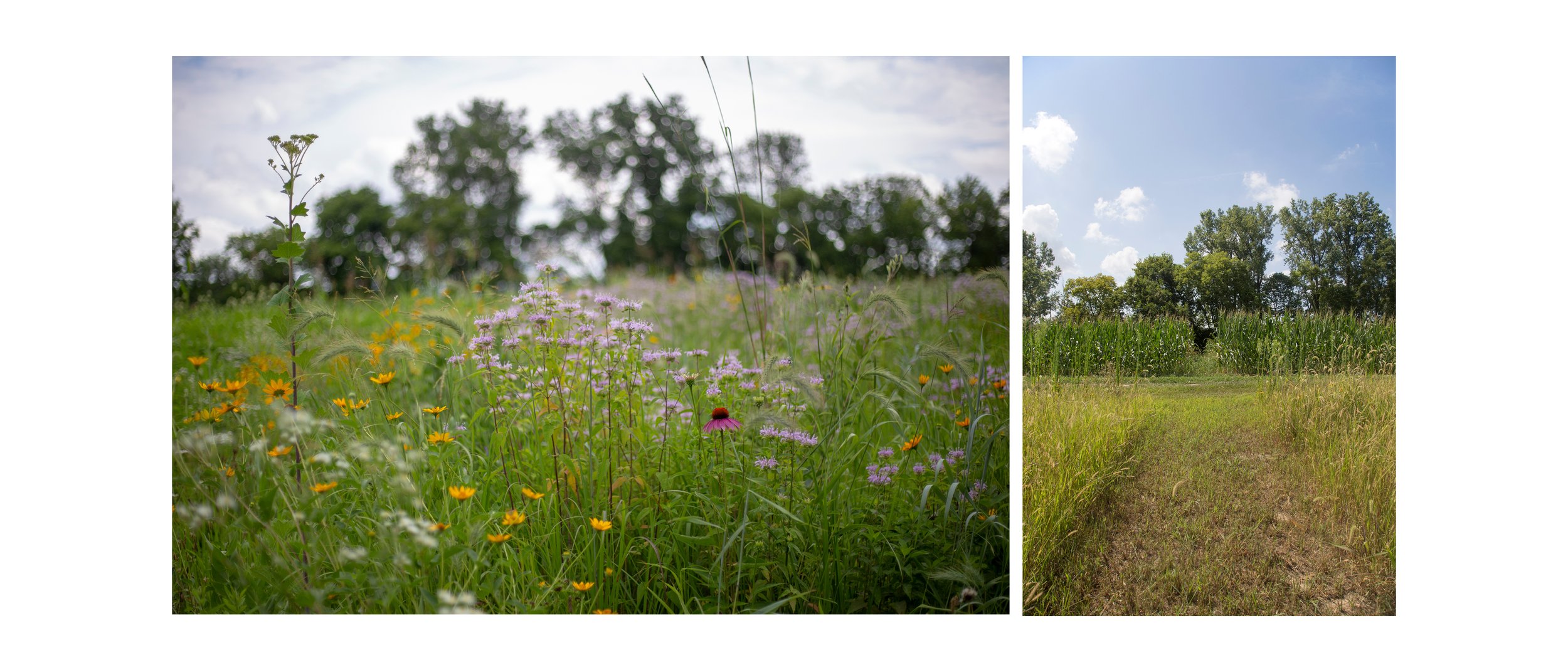
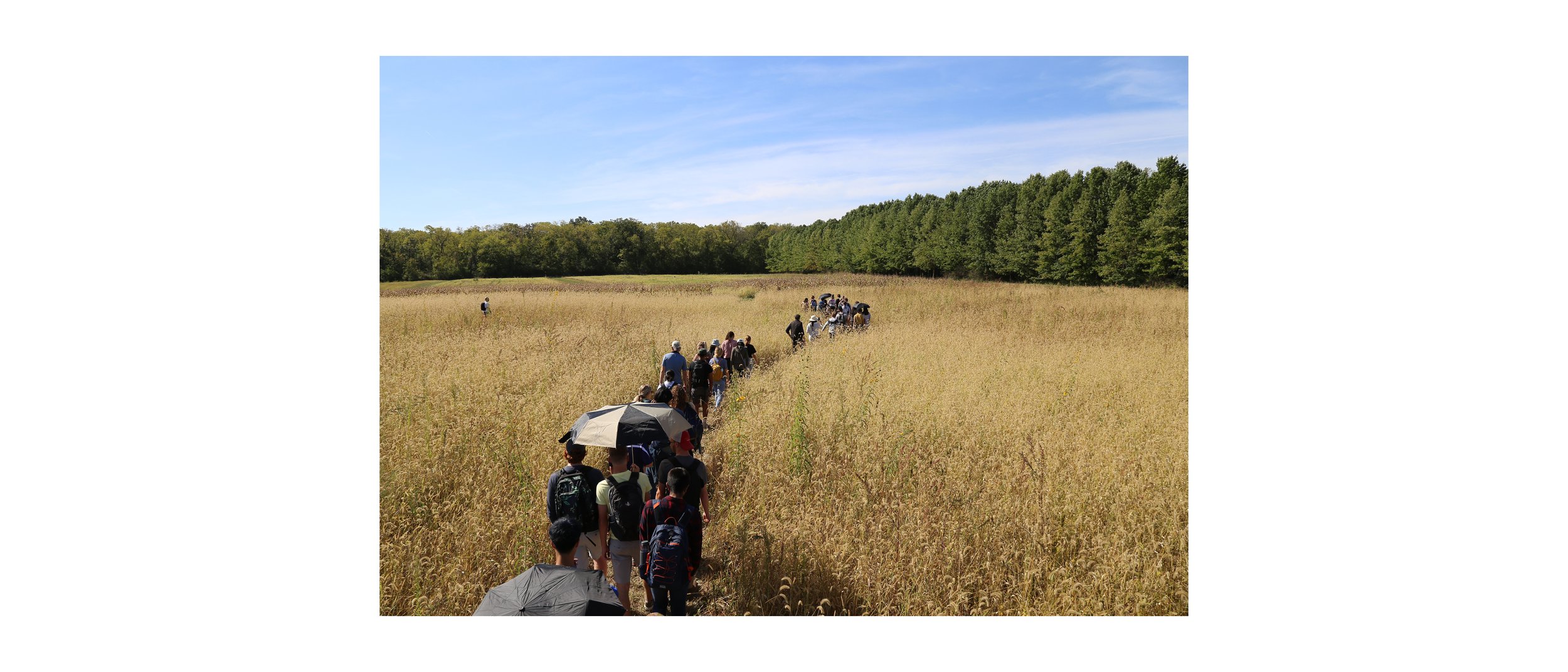
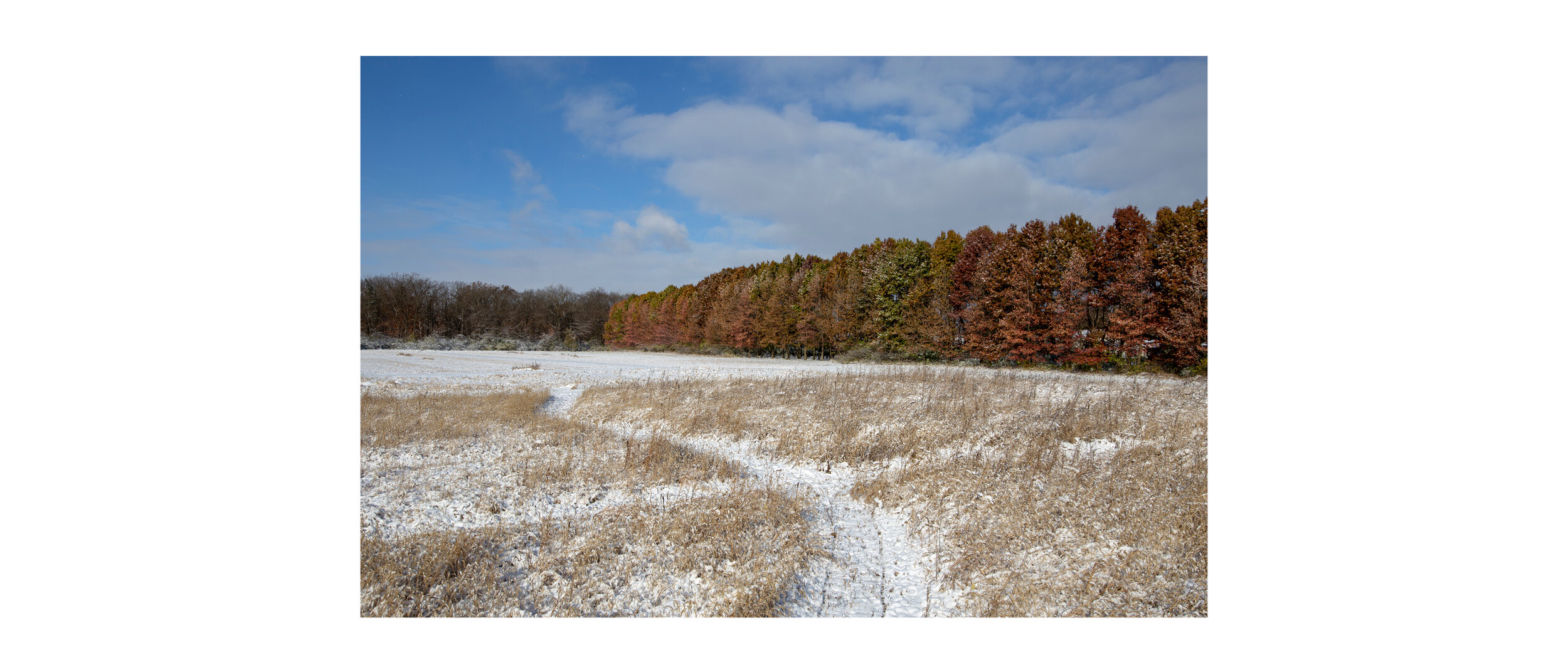
Meadow Lines is an ongoing meadow restoration project that uses geospatial data produced by walking to generate scripts for design intervention. 

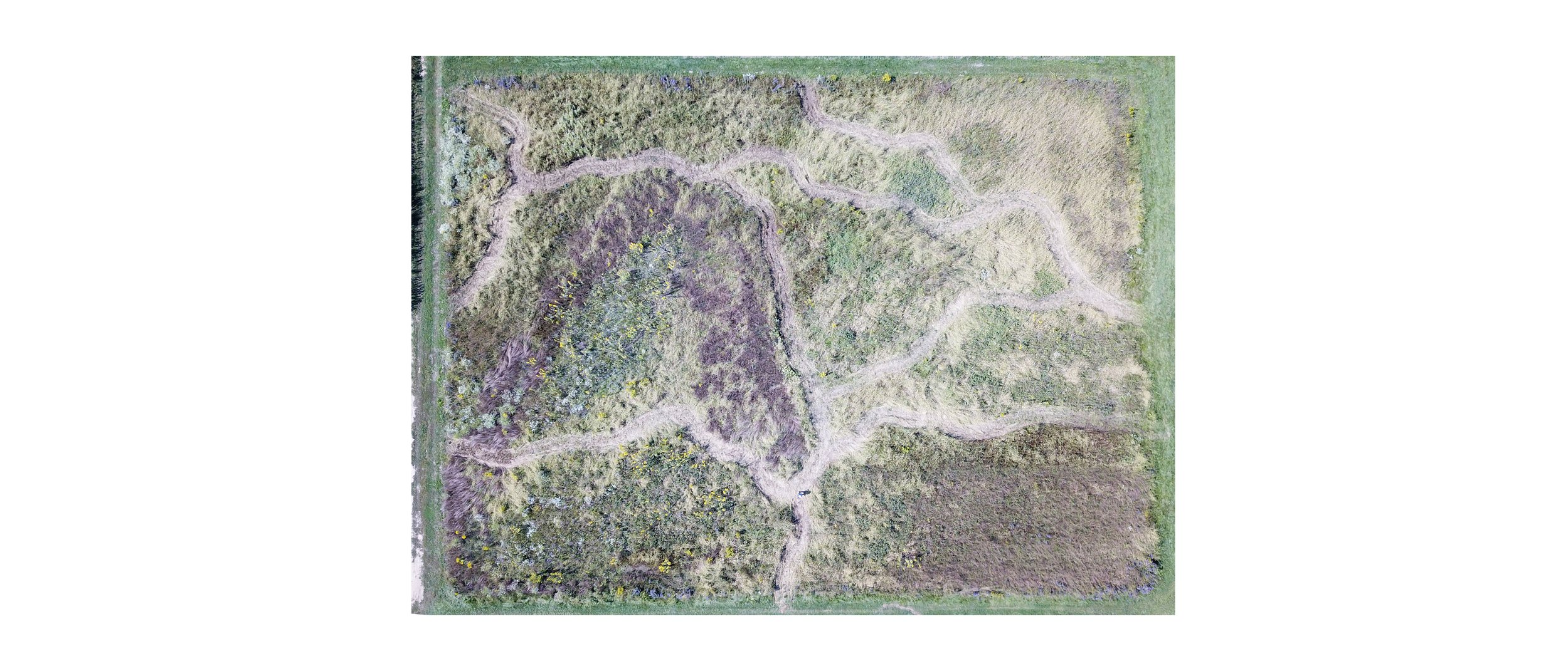
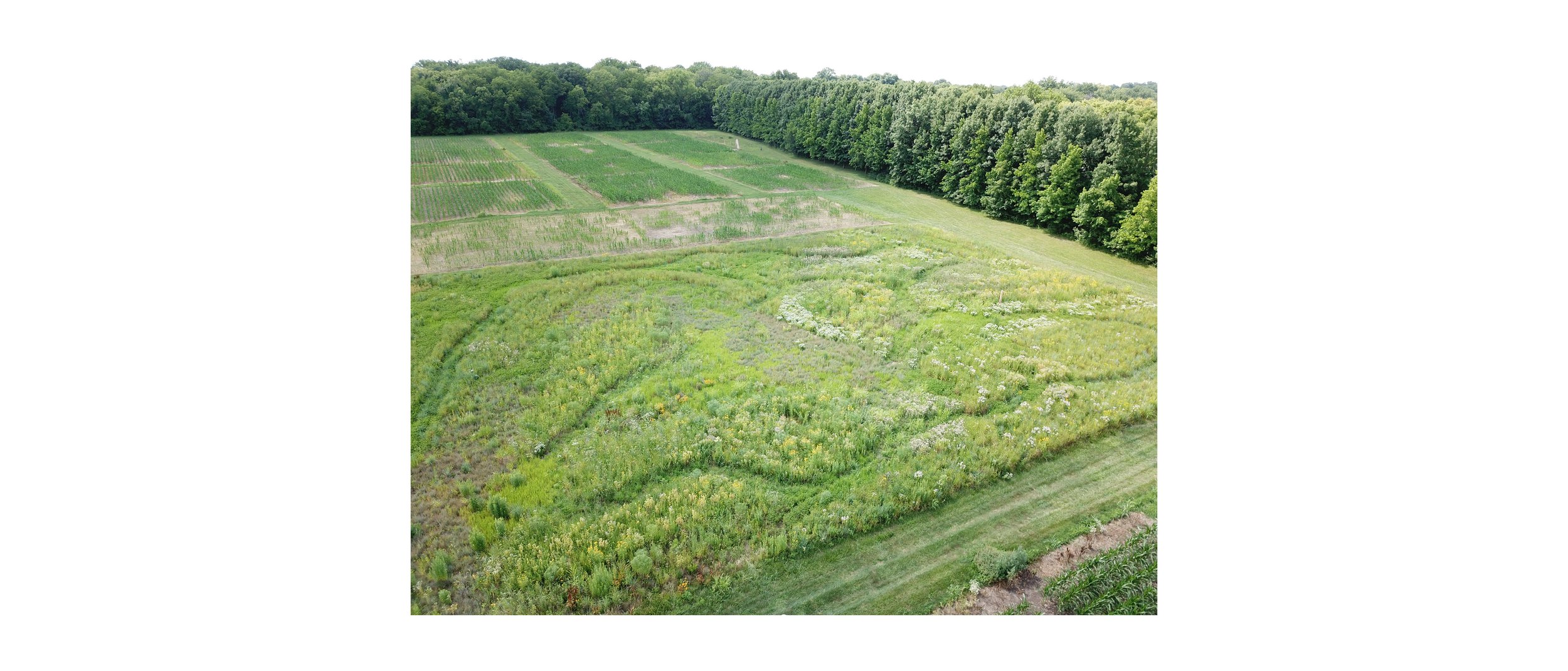
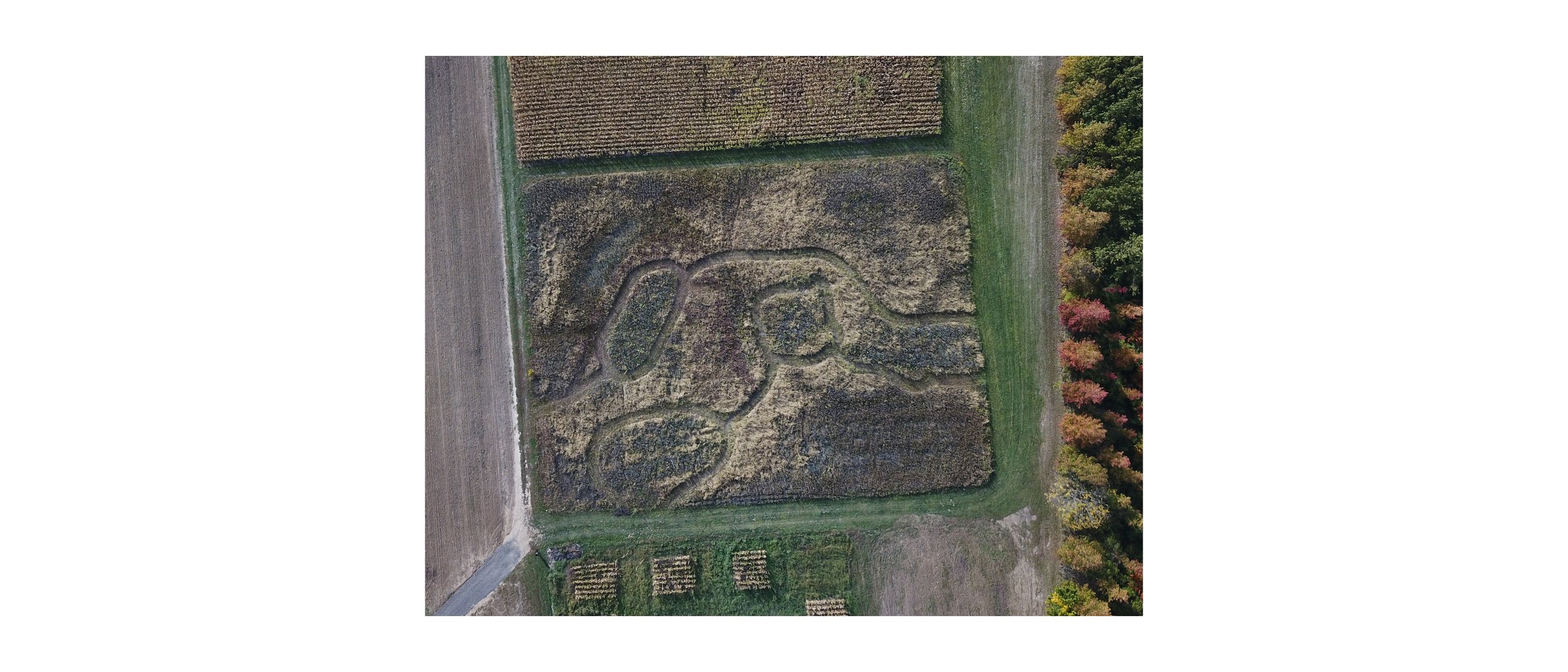
Located on a one-acre public test site at Waterman Agricultural and Natural Resources Laboratory in Columbus, Ohio, Meadow Lines has transformed an industrial soybean field into a biodiverse prairie by mapping site walks across growing seasons and climatic conditions, analyzing their patterns, and responding with maintenance decisions.


Meadow Lines embodies a novel hybridization of ecological restoration and landscape architecture, distinguished in its ability to integrate new site information into a flexible, constantly shifting design. Like a feedback loop, the project implements incremental changes in the landscape across seasons—such as mown pathways that emerge and recede seasonally—that respond to the successes or failures of previous planting and maintenance decisions and emerging ecological zones. 

In addition to restoring a piece of critical native habitat that has largely been eradicated in the Midwest, this project has reduced carbon inputs, increased carbon storage and eliminated the application of chemicals to the land. Over thirty species of forbs and native grasses have been documented at the Meadow Lines site since its inception.