SEEING THROUGH SUBTRACTION

Click to see "Seeing Through Subtraction" in ARID Journal

The Great Basin Exercises were completed during a Center for Land Use Interpretation (CLUI) residency in Wendover, Utah. Summer 2015.


The aesthetics of America’s Great Basin, a place so often described as banal, empty, static, wastelands, may explain its patterns of development as much as any logic based on the land’s utility. This is not to argue that aesthetics explain the presence of all land-uses of the Great Basin. Many local land-uses—salt farming, copper mining, potash production—are obvious outgrowths of the unique geologic and atmospheric make-up of the place. But others—nuclear waste burial, chemical production, weapons testing—may be borne of some combination of the unique landform aesthetics of this particular environment and conventional modes of human perception.

The terrain of the Great Basin has a long and volatile geologic history. Benches from the ancient pluvial lake that once saturated our present-day airspace are etched into the basaltic and rhyolitic peaks that articulate the Basin’s perimeter. A cataclysmic breach into the plains of Idaho some fifteen thousand years ago that remade lakebeds into playas remains visible in Red Rock Pass.

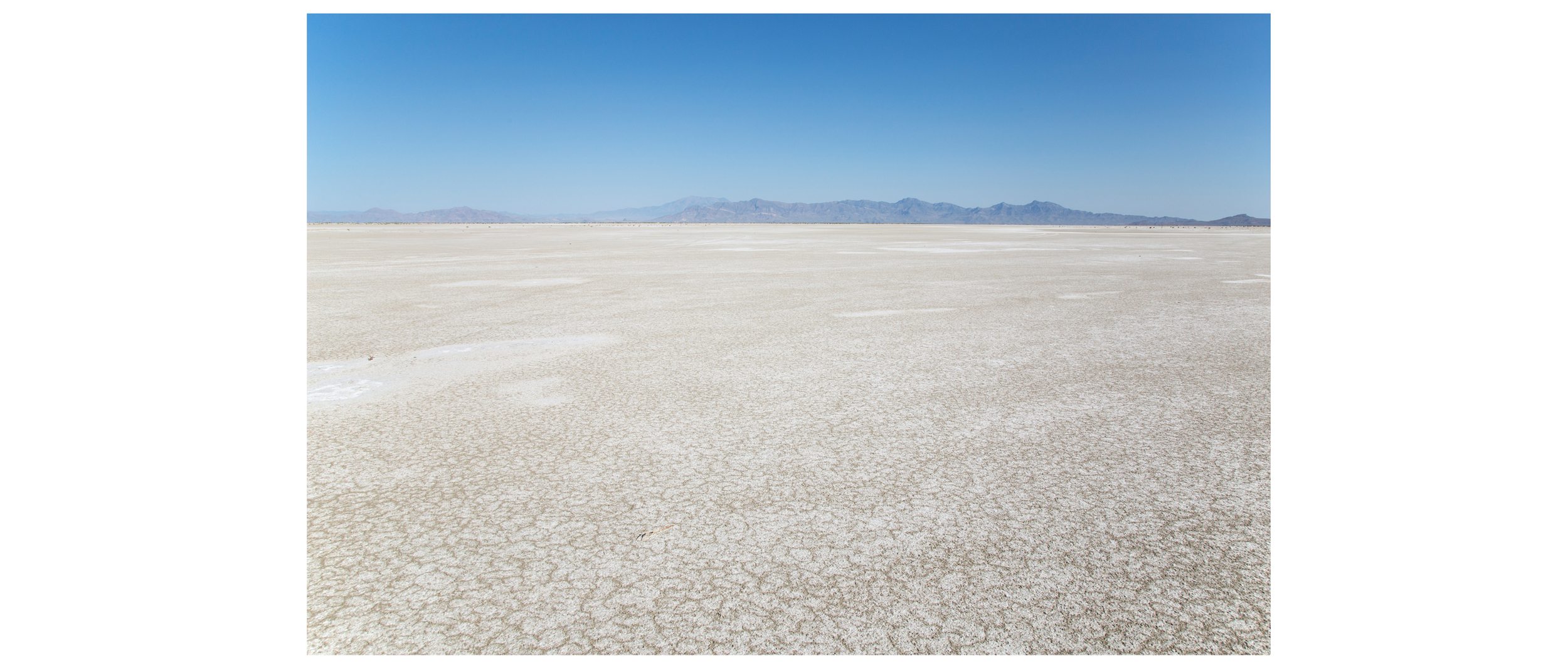
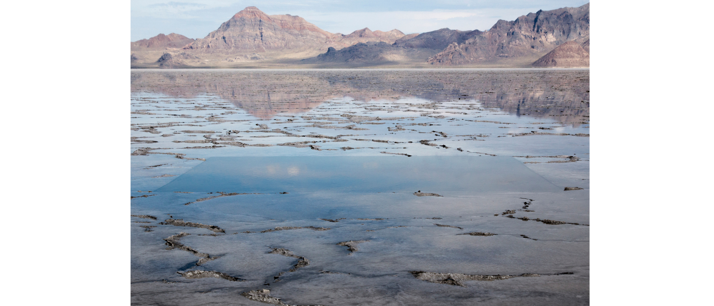
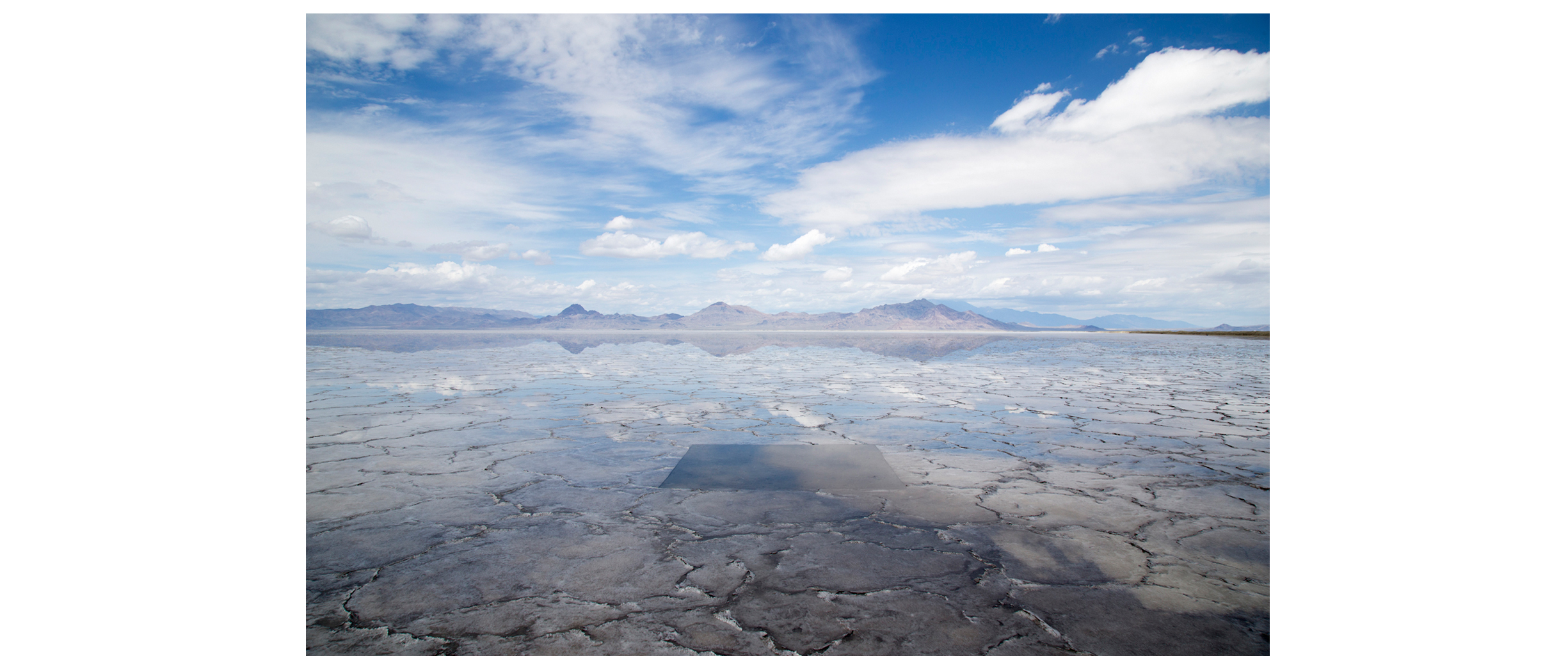
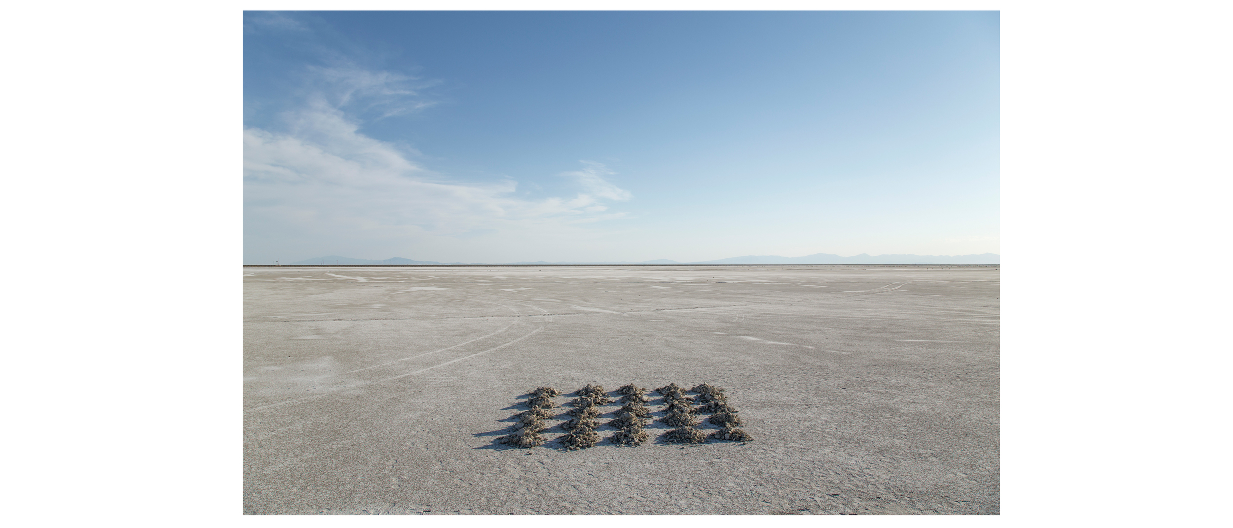
The tale of human habitation here is comparatively short; its vestigial traces less apparent – hidden or erased. From the absence of such anthropological landmarks we infer an emptiness. This ideological impression of emptiness is compounded by a visual one: the field-like regularity of vast areas within the Great Basin that dulls our innate perceptive abilities. This optic fatigue evokes a feeling of vastness and isolation that can belie the remoteness of one’s true geography, as with the area surrounding America’s largest Magnesium Chloride plant, a mere 45 miles upwind from central Salt Lake City.

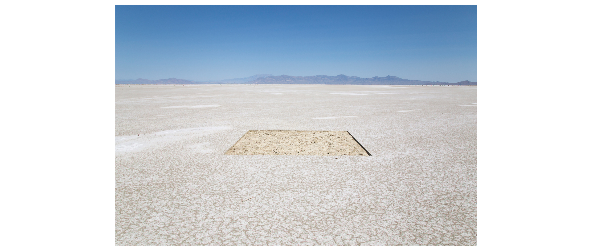
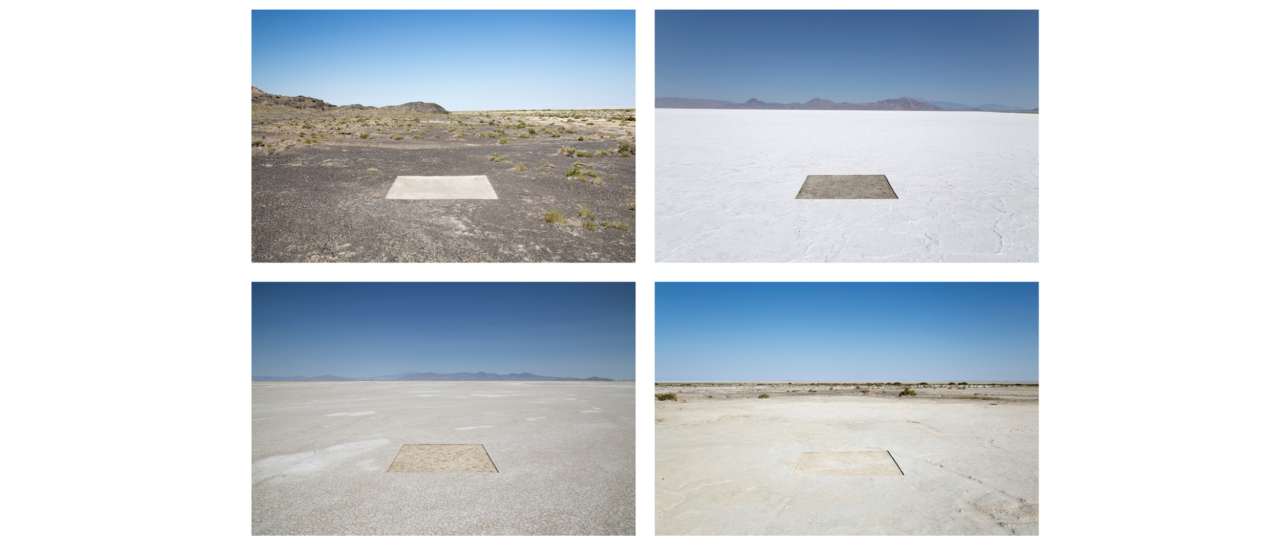
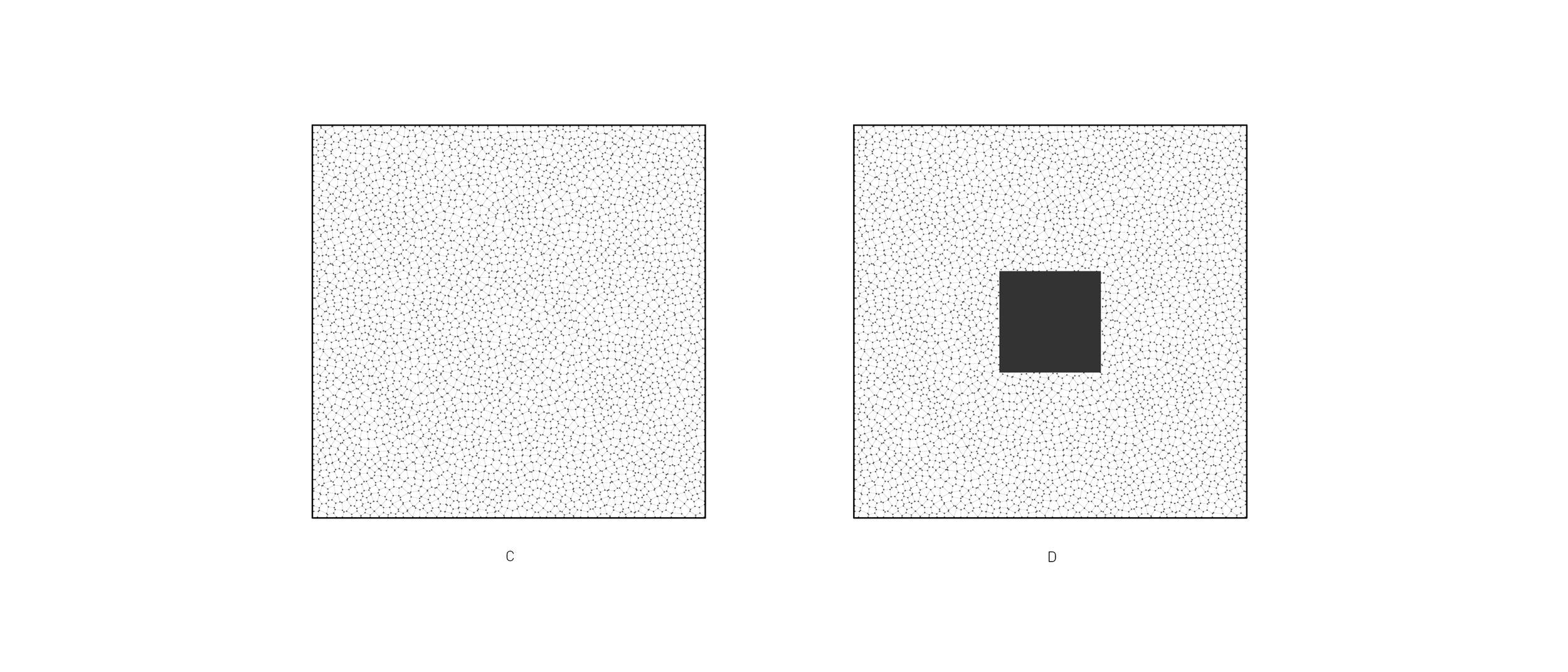
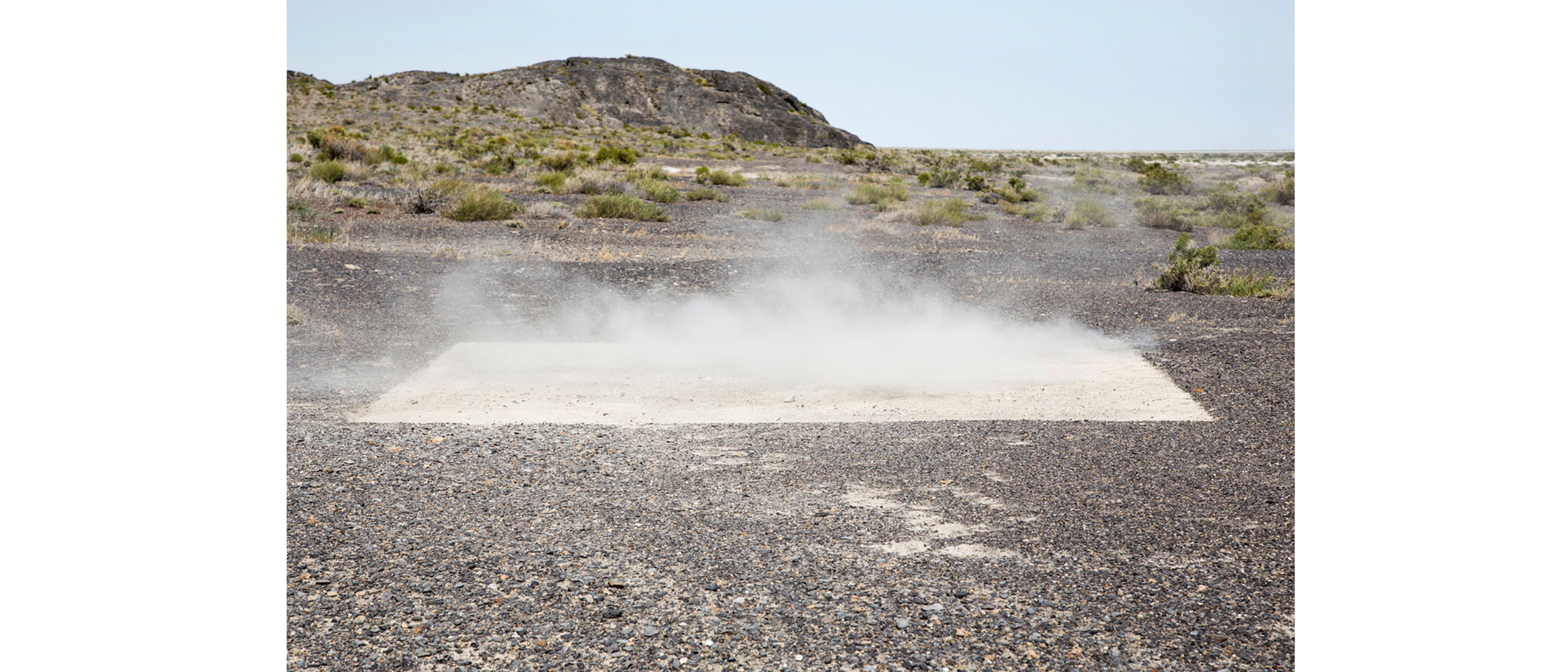
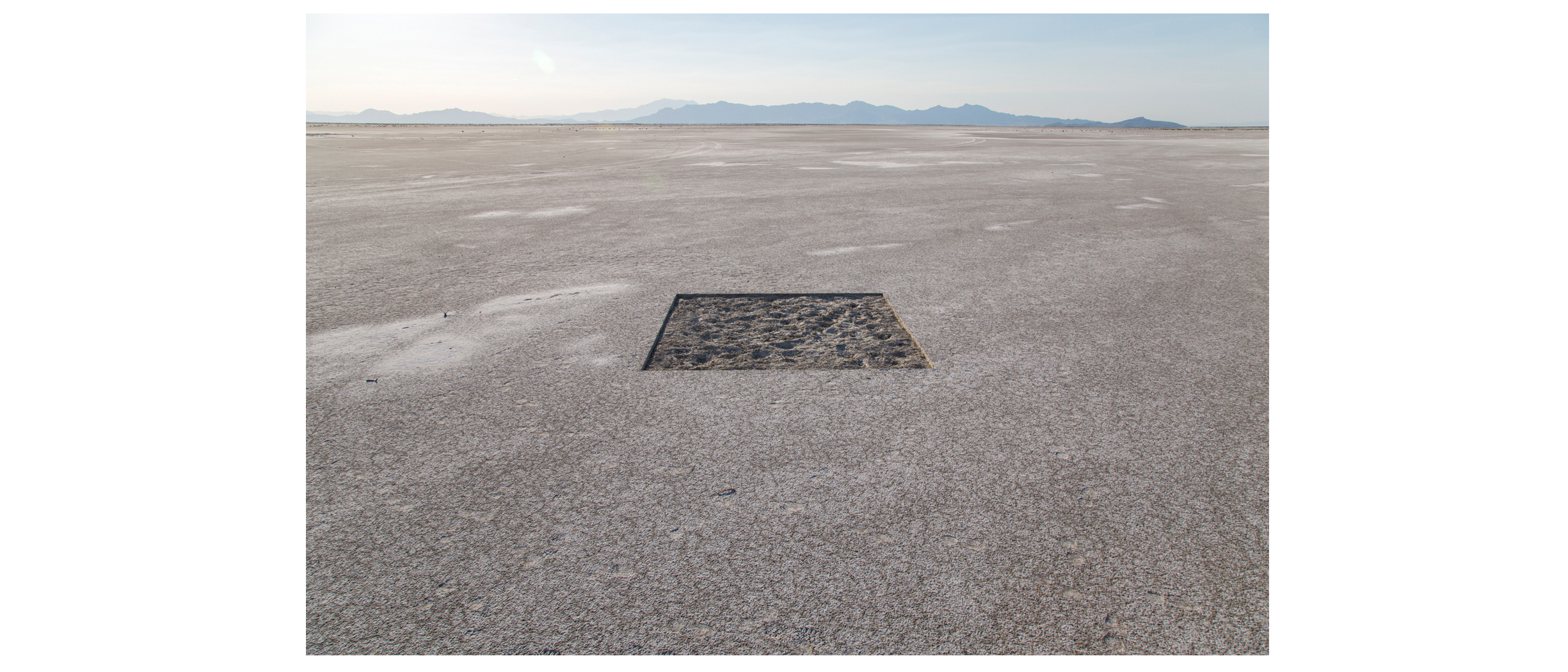
Repetition makes it difficult to pick out a defining feature or landmark from the larger landscape. We see fields but no figures. The evenness of the terrain  – its undifferentiated hues, lack of contrast, and unbroken horizontality – contradicts our tendency to structure the world in plain geometries. Absent the basest elements of our visual structure, foreground and background vibrate in overlapping planes. This is an environment that is a challenge to see, no less to conjure in one’s mind. This makes it difficult, then, to picture what has been lost, or ruined, by the advent of hazardous waste processing facilities, such as those in Aragonite, UT, west of the Cedar Mountain Range.

Further, this is a landscape perceived in pieces, its wholeness only sensed serially, over great distances and time. Our inability to grasp its magnitude is not unlike the cognitive barrier that prevents our comprehension of the infinitude of a hyper-object such as nuclear waste (a proposed import to this region) whose potency and longevity is heretofore unknown.

 How we see and what we select to see is a reflection of what we value in a place. Adrift in the constant pulse of the desert we are blind to subtle changes disguised by broader patterns in the land. In this aesthetic sphere, we see little and value less. 

I. 

Four 10’x10’ incisions in the ground plane operate as extra-framing devices, or exframes, to animate not within, but external to the space they occupy in the desert continuum. At each installation in the Great Salt Lake Desert near Wendover, Utah, the frame (a square) is interior; the picture: everything around it. Four sites were selected to reveal the subtle variation in materiality, scale, and mutability of the Great Salt Lake Desert:

 Site 1: Dry packed alkaline silt at the foot of the Silver Island Mountains

Site 2: Rhyodacite gravel eroded from the Silver Island Mountains

Site 3: Moist alkaline mud lightly caked in salt at the edge of the Great Salt Lake Desert

Site 4: 1-inch thick white evaporite salt deposits atop mud in the Great Salt Lake Desert

The square is the standard unit for measuring and parceling frontier land, and while no manmade inscription in the land is neutral, the square is – courtesy of Jefferson – endemic to the territory of the Great Basin. Hence, each exframe manifests this familiar orthogonal form. Like the Jeffersonian Grid, the exframe meshes uneasily with the land’s natural contours. Its straight lines cut through the grain of the earth and its surficial distribution of rock, salt, and sage. An exframe’s linear shadow on the otherwise boundless plane of the desert reveals scale and contrast; a line against which we may measure our place.

A presence and an absence, a void within the void, the exframe fluctuates between figure and field, space and matter. Each excavation provides not a frame through which to look, but rather an inflection that allows us to look everywhere else with renewed interest and intensity.

If the uniformly random patterning of the ground plane fatigues our eyes and establishes expectations for what will appear in the next mile – or ten – then the opening created by each square provides relief and restores the perceptive field. The spectrum of what is visible widens.

As a lens into the land – not merely over or across – we may begin to perceive the chthonic weight of this place. The volume of material from two inches of alkaline mud unearthed in the formation of the exframe at site #3 fills twenty-five 4-gallon buckets, equaling one ton of earthen mass. These two inches of material conceal an estimated 9,000 feet of sediment collected at the bottom of the Great Basin. 

The exframe’s 10’x10’ break in the even desert surface hints at the great stratum of material below and the geologic epoch in which it accrued. It is a peeling back of the crust to contemplate both landform processes and human signification. The exframe provides a point of reference for both, disassembling the conventional mode of seeing “empty” spaces and presenting new terms for looking.